.png?w=auto&h=400)
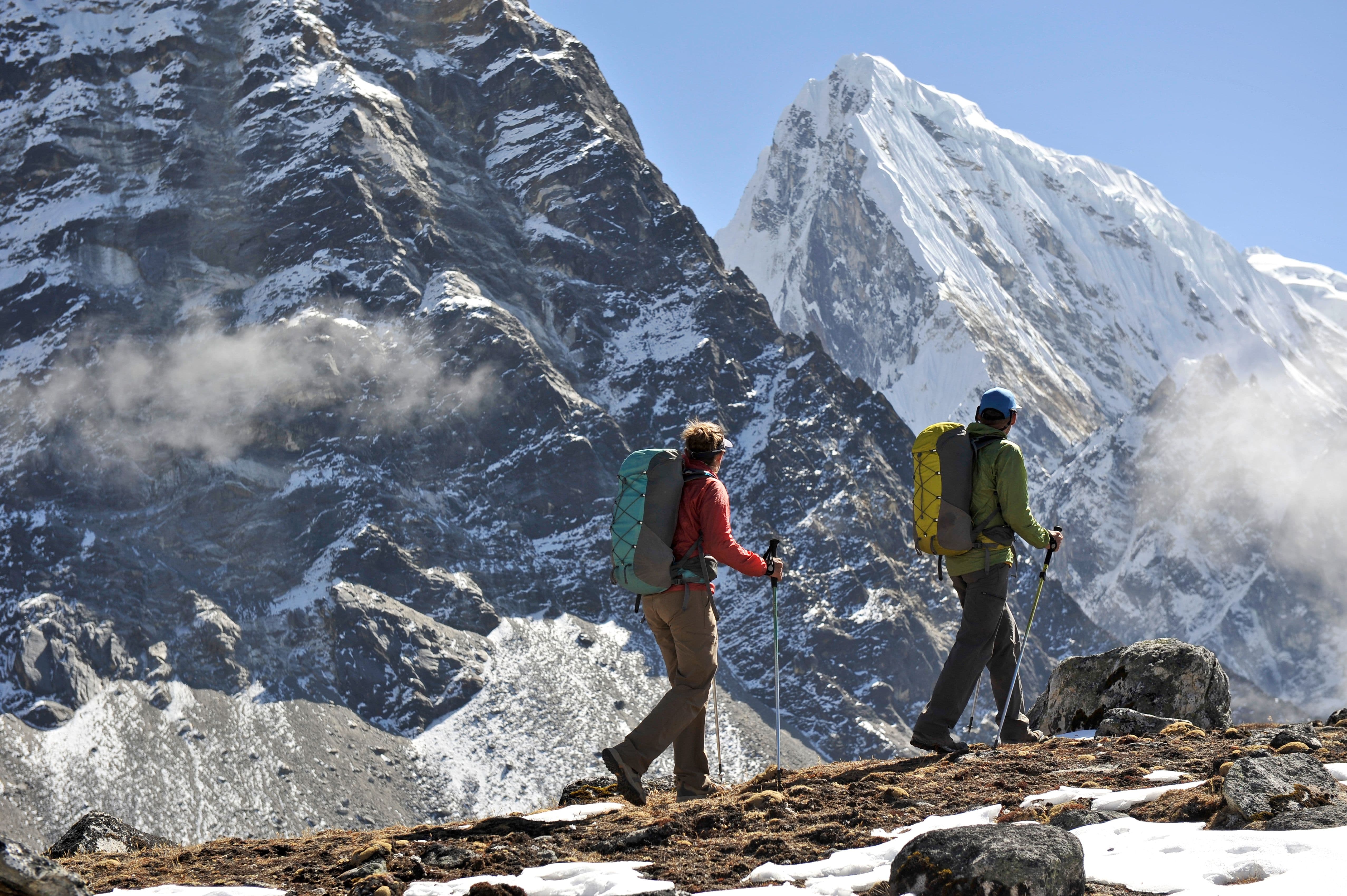
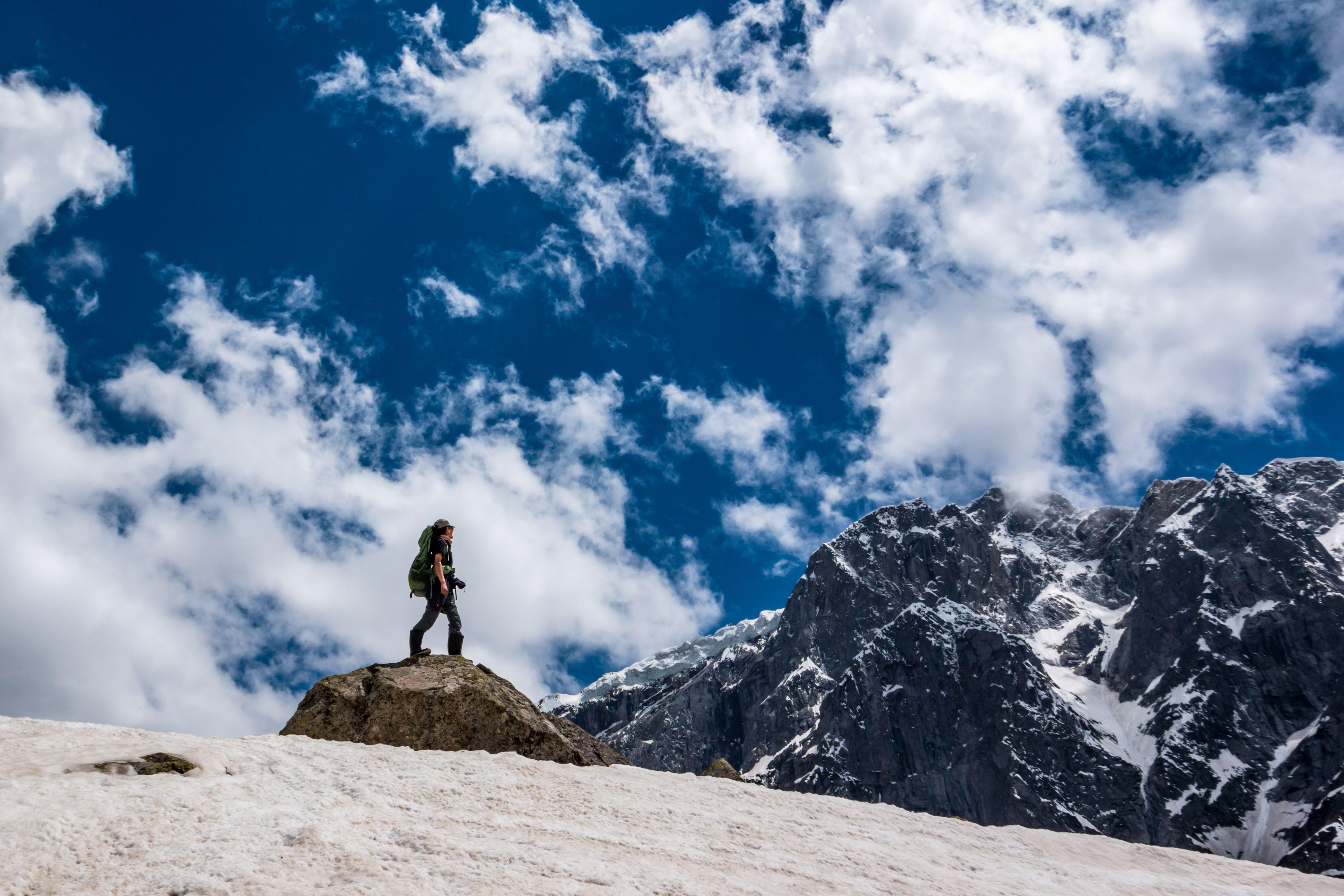
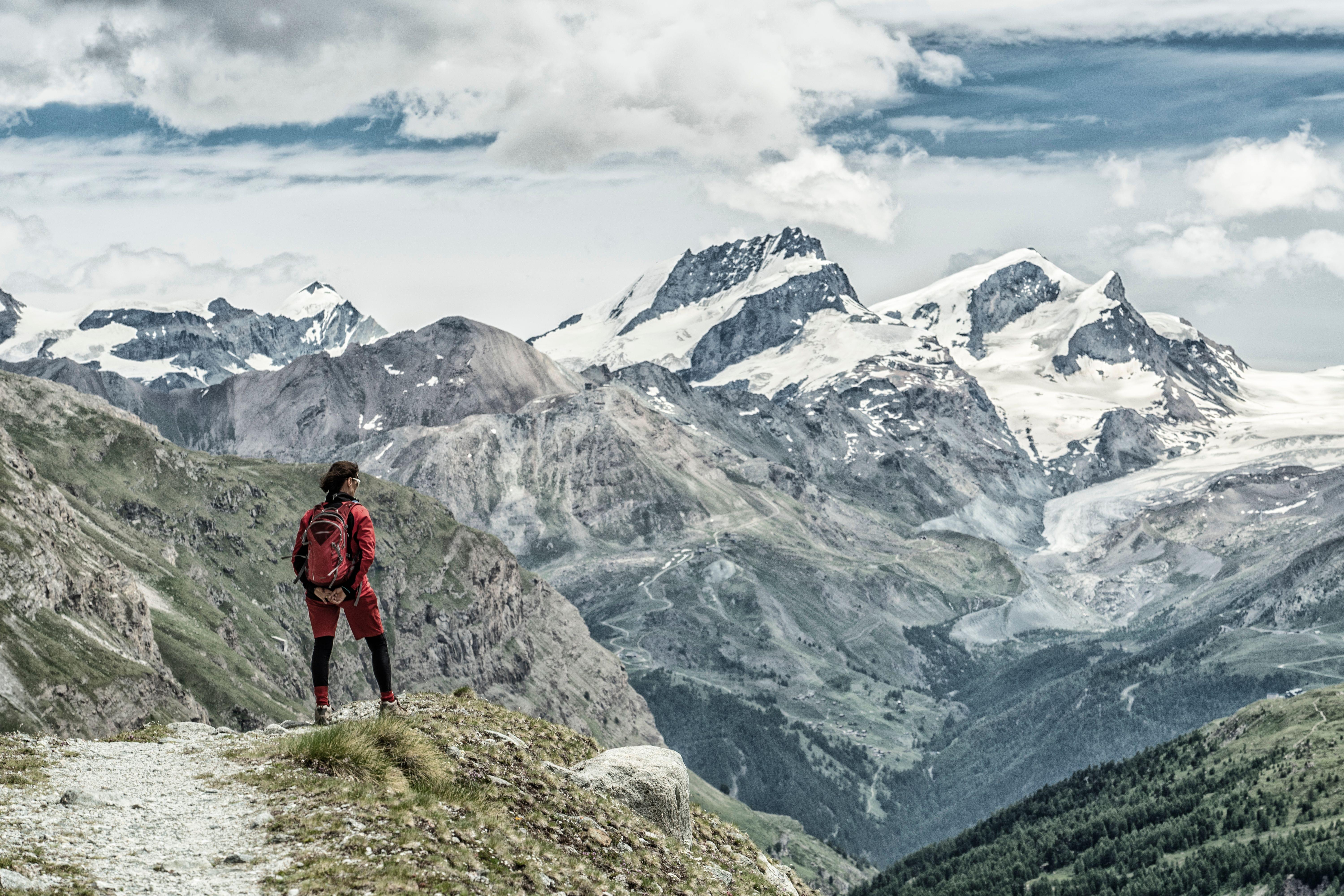
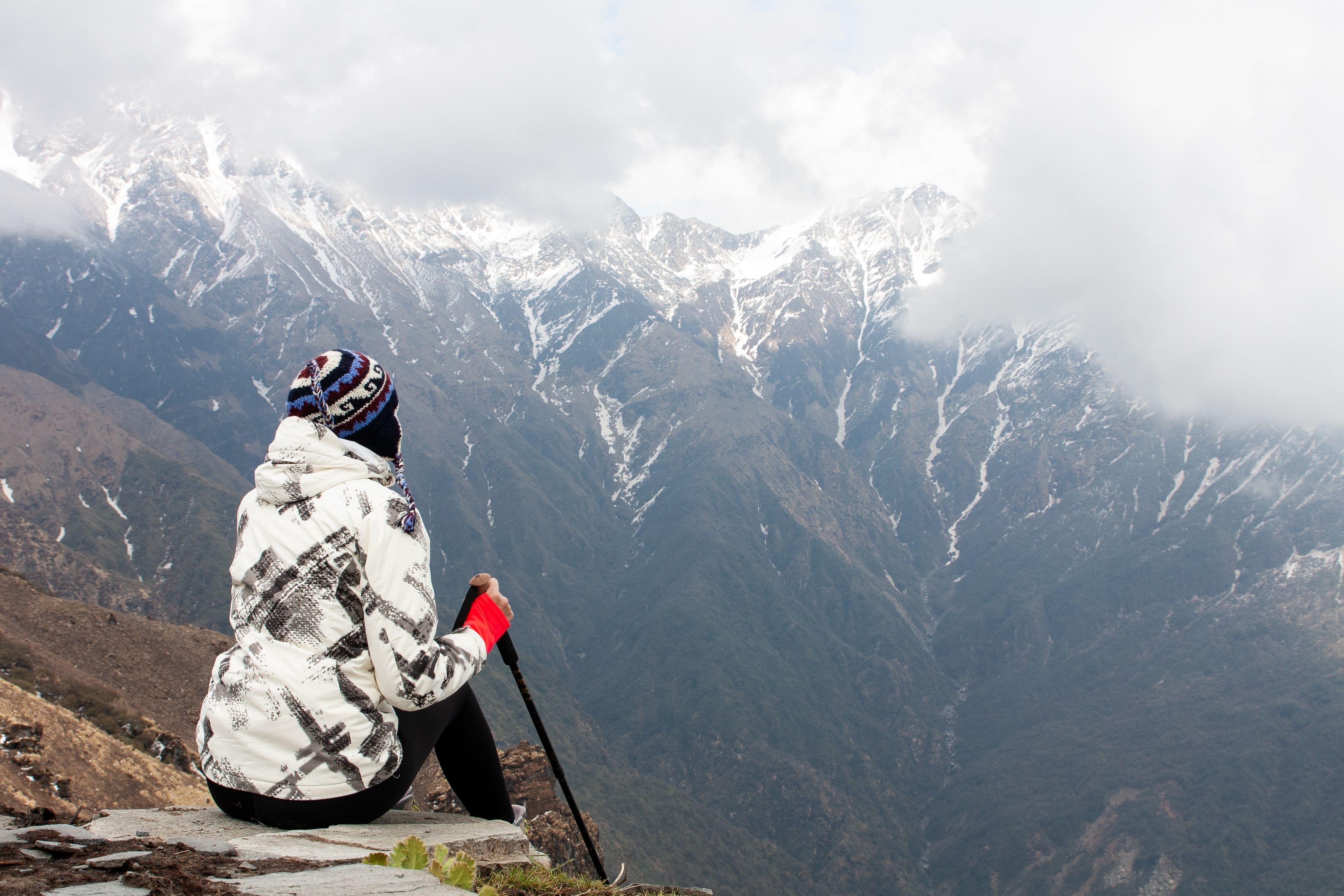
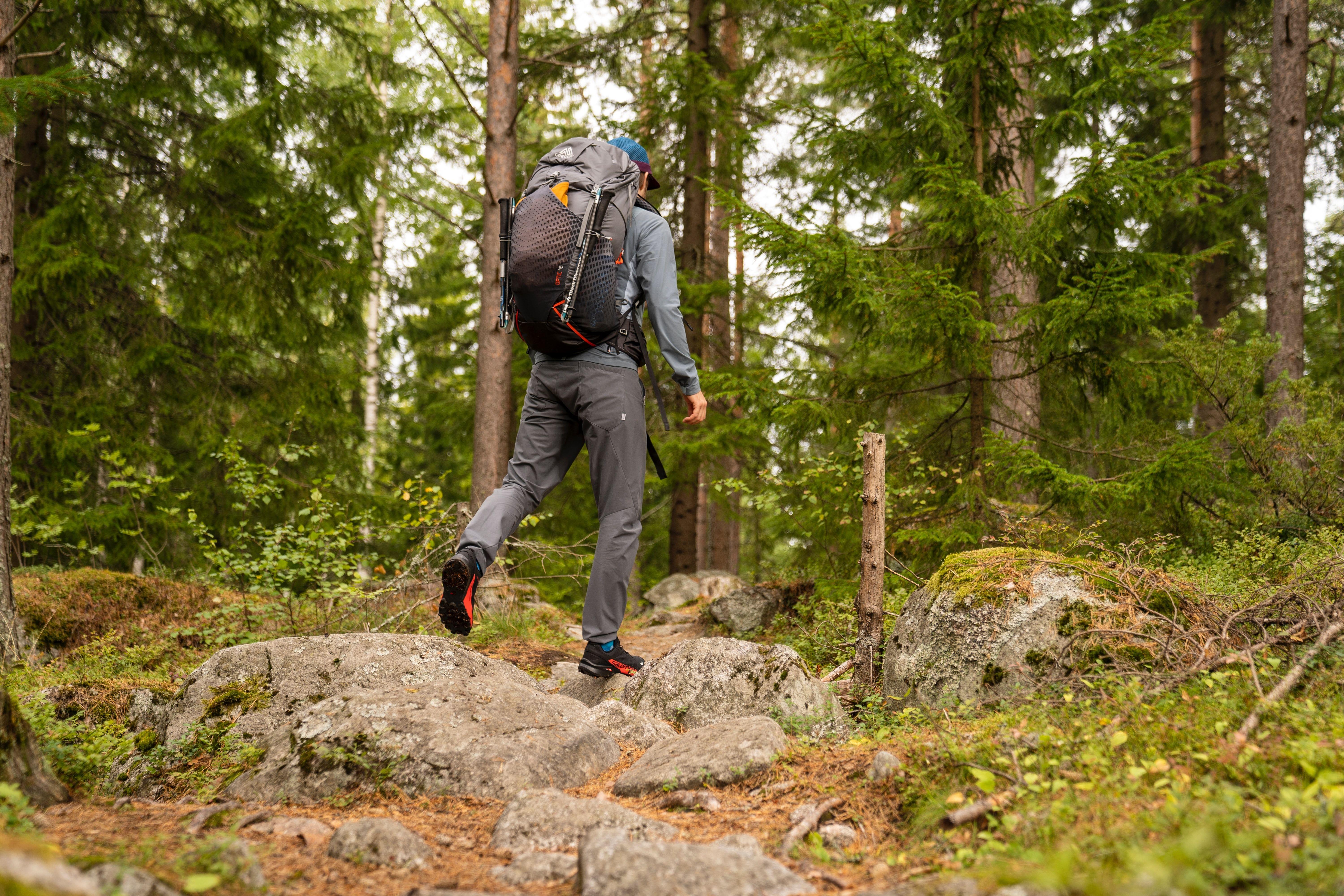
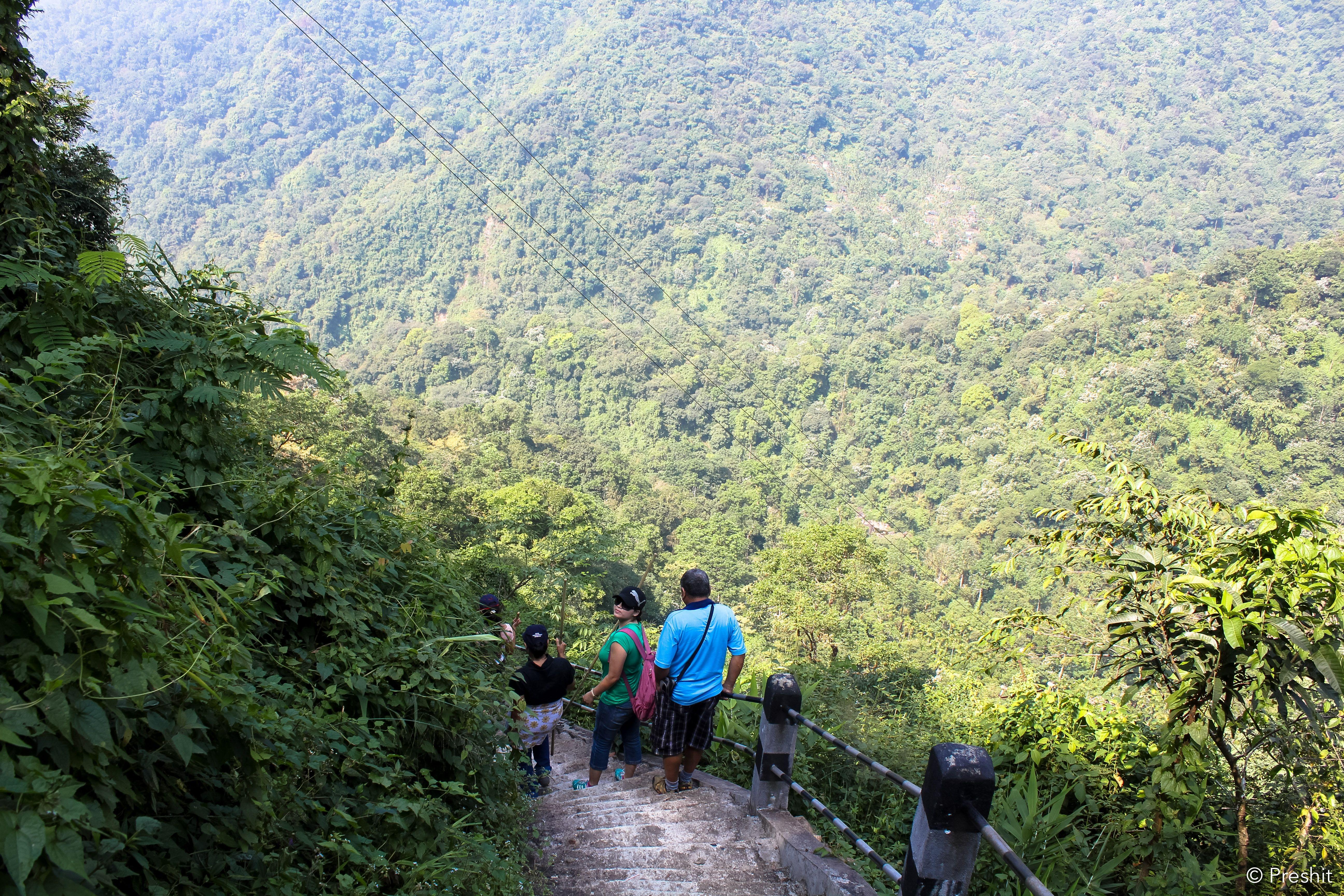
Goecha La Trek Overview
Quick Facts of Goecha La Trek

Maximum altitude- 16,200ft
Duration- 10 days
Goecha la Trekking distance- 90 km
Trail type- difficult
Rail head- New Jalpaiguri
Airport- Bagdogra
Snow Season- Winters
Base camp- Yuksom
Best season- Summers (April to May) & September to November
Region: Sikkim
Short Itinerary for Goecha La Trek
Goecha La Trek Detailed Itinerary

Drive from Bagdogra Airport/NJP to Yuksom
Duration - 7 Hours
Altitude - 5,670 ft
7-hour transfer from New Jalpaiguri Railway Station or Bagdogra Airport to Yuksom.
As you ascend the road, take in the splendor of the Himalayas and Teesta River.
At 5670 feet, arrive in Yuksom, then check into a hotel to spend the night sleeping.

Yuksom to Sachen (7,150ft)
Duration: 6 hours
Distance: 8 kms
Elevation: 7150 ft
Start your 5- to 6-hour trek to Siachen.
Start climbing up the Rathong River valley.
Approach Paha Khola Bridge by passing through fir, rhododendrons, and dense magnolias.
Midway through, have packed lunch to keep yourself going.
As you pass vibrant flowers and orchids in bloom, catch a glimpse of playful monkeys.
After an 8-kilometer hike, arrive at Sachen at 7,150 feet, where you can spend the night.

Sachen to Bakhim (8,600ft) to Tshokha (9,700ft)
Duration: 5 hrs
Distance: 7 km
Elevation: 9701 ft
Cross the Prek Chu River after a 7-kilometer hike through fragrant viburnum plantations.
Ascend for two to three hours to Bakhim, then stop for a while to admire the incredible view of the surroundings.
Trek to Tshoka, a Tibetan refugee settlement at 9,700 feet, and spend the night there.

Tshoka (9,650 ft) to Phedang (12,050 ft) to Dzongri (12,980 ft)
Duration: 5-6 hrs
Distance: 3.2 km
Elevation: 12980 ft
Reach Phedang at 12,000 feet by ascending for 4 hours through well laid trails of rhododendron forests.
After a 5- to 6-hour trek, arrive in Dzongri and spend the night at the campsite.

Trek from Dzongri (12,980 ft) to Dzongri Top (13,675 ft) and back to Dzongri and then to Thansing (12,930 ft) via Kokchurang (12,100 ft)
Duration: 7-8 hrs
Distance: 7-8 kms
Elevation: 13675 ft
After breakfast, start hiking to the 13,675-foot Dzongri top in an hour to enjoy the top's breathtaking views.
Trek back over 7-8 kilometers to Dzongri, then descend in 5–6 hours via Kokchurang (12,100 meters) to Thansing (12,930 meters).
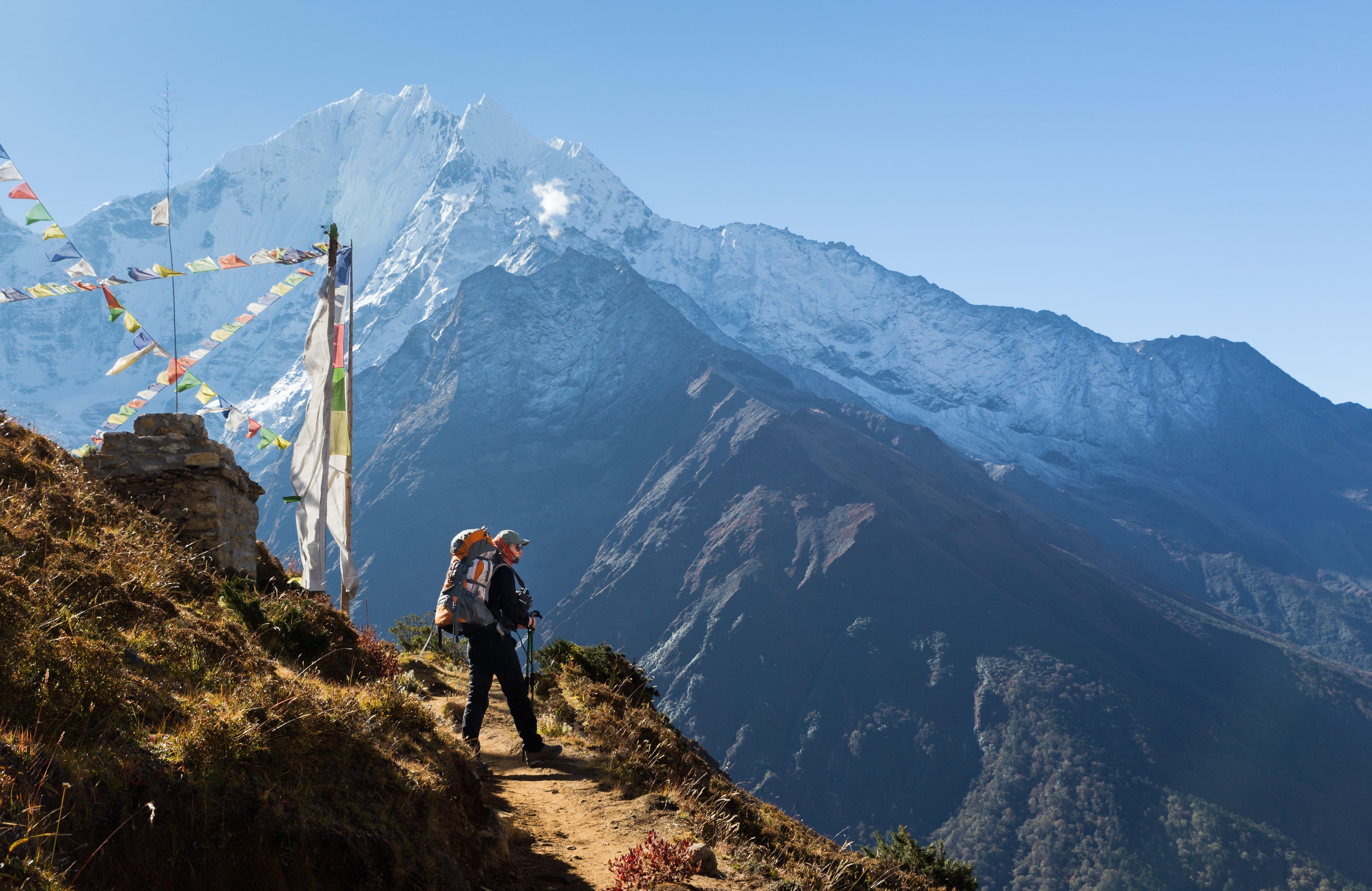
To see the stunning views of the Koktang, Rathong, Simvo, Khangchendzonga, Kabru, and Pandim Himalayan Peaks, travel to the Thansing campsite.

Thansing (12,930 ft) to Lamuney (13,700 ft)
Duration: 2 hrs
Distance: 4 kms
Elevation: 13700 ft
Wake up and explore your surroundings or stay in the tent and enjoy the cold as you acclimatize for the higher altitude.Enjoy your overnight stay in the camps.

Trek from Lamuney (13,700 ft) to Goechala (15,100 ft) and back to Kokchurang (12,100 ft)
Duration: 10-12 hrs
Distance: 18kms
Elevation: 15100 ft
Ascend through the moraines in the morning to avoid being hampered by the harsh weather.
Cross the Zemathang Plateau before descending to Samiti Lake.
Reach the highest point of the trek, Goecha La Pass viewpoint one, at an elevation of 15,100 feet by continuing your ascent through moraine for an additional hour.
Witness the mesmerizing views of Kanchenjunga group of mountains, the main highlight of Goecha la trek.
After the longest day of your trek, covering 18 kilometers, start heading back toward the kokchurang campsite and spend the night there.

Kokchurang (12,100 ft) toTshoka (9,650 ft) via Phedang (12,050 ft)
Duration: 7 hrs
Distance: 16kms
Elevation: 12900 ft
- Early in the morning, set out on a 16-kilometer trek to Tshoka.
Trek through the forests of Phedang, the Prek Chu River, and the Dzongri Plateau.
Trek for 7-8 hours to Tshoka at 9,700 feet above sea level, and spend the night in camps.

Tshoka (9,650 ft) to Bakhim (8,600 ft) to Sachen (7,200 ft) to Yuksom (5,800 ft)
Duration: 6 hrs
Distance: 15kms
Elevation: 5670 ft
Arrive in Yuksom after a 15-kilometer, 5- to 6-hour descent through Prek Chu, which is also the last stop of your Goechala trek package.Stay in a room at a nearby hotel for the night.

Departure from Yuksom
Get up in the morning as this is where the Kanchenjunga base camp trek ends, eat a delicious breakfast, and then depart for your destination.
What to Pack for Goecha La Trek?

Carry 35 to 40 liters of backpack
Small Day pack 20 Ltrs (carry your trail, camera, and water).
Water bottles
Eatables like biscuits, protein bars, glucose-based chocolates, cup noodles, dry fruits, and quick energy bites as Goecha la trek is a long journey.
Shirts and pants for hiking
Shoes for hiking that can be worn on any surface
Flashflight and additional batteries
Sunglasses
Toiletry-toothpaste, tissues, soaps, cold coral, moisturizer, hand sanitizer, and anti-fungal cream.
First aid kit
Camera
Warm coat or sweater
Lots of socks and gloves
Raincoat—for rains.
Know Before You Go to Goecha La Trek

To cover 90 kilometers of Goecha la trek, you must repeatedly climb and descend hills, so you should be physically fit.
The trek ascends to a height of 16,000 feet, where there is less oxygen.
Acclimatization to high altitudes is necessary if you want to feel comfortable and fit.
As the atmospheric pressure drops at such high altitudes with less oxygen inhaled, practice ventilation techniques.
Inconveniences like headaches, hypoxic conditions, vomiting, and other medical issues could result from the sudden drop in oxygen levels.
So, keep medications on hand and take the necessary precautions to avoid them.
As it is a long journey with challenging to extremely difficult level trails, be sure to prepare yourself well before the trek.
Visit a doctor prior to the trek to assess your level of fitness and to receive any necessary checkups.
Plan your trek outside of the monsoon and winter months when the trail is closed and impassable.
Since there are no ATMs or UPI facilities beyond Yuksom, always carry cash with you.
After Yuksom, there wouldn't be a mobile phone network.
Therefore, you should let your loved ones know before embarking on the base camp trek.
Have 7-9 hours of quality sleep the night before your trek because moving around restlessly will make it difficult for you to travel and will make you uncomfortable.
Bring a 35–40 liter backpack to store everything you need.

By Air: Fly to Bagdogra Airport, which is 160 kilometers from Yuksom, Sikkim. The airport is reachable from any large city, but it costs a little more than Kolkata Airport. After reaching, you can take a taxi to Yuksom from Bagdogra Airport.
By Train: Sikkim is 150 kilometers southwest of the New Jalpaiguri or NJP Railway station. Any long-distance train that arrives at NJP directly can be boarded. Getting to Kolkata is another quick option, as the railway station is accessible from most major Indian cities. After arriving in Kolkata, you can take a train to NJP. After reaching, you can take a taxi from NJP to Yuksom.
By Bus: You can take a bus from Kolkata to Siliguri, 582 kilometers away. From there, take a bus to Jorethang at 81 kilometers.

Spring (April-May): The temperatures range between 12 °C and 15 °C and drop between 0 °C and -3 °C. The springtime makes the meadows shine in lush greenery, and flowers bloom to their fullest, proving to be the best time for Goecha la trek. A variety of rhododendrons in different colors are found along the trail. You can witness snowfall in the upper parts of Dzongri and Goechala Viewpoint 1.
Autumn (September-November): The temperatures range between 8 °C and 12 °C and drop between -5 °C and -10 °C. You won’t find any vibrant rhododendrons and blooming flowers, not even snowfall. The clear blue sky will present you with the sharpest views of Tshoka, Dzongri, and Goechala Viewpoint 1, perfect for night and daytime photography.
General Trivia About Goecha La Trek

Yuksom was historically known to be the meeting place for three monks, as they traveled from Tibet to India. These monks crowned the first King of the place and named the community ‘Chogyal’. Yuksom was established as Sikkim’s capital and the Chogyal dynasty ruled here for more than 300 years. This community exists today and didn’t stop trekking up until the pressure of the Indian government in the early 2000s.
‘Kanchenjunga’ translates to ‘five treasures of snow, pointing toward its total of 5 peaks with three in India and the other two in Nepal.
Kanchenjunga National Park is a part of the UNESCO World Heritage Site.
The ‘La’ in Goecha la trek means ‘Mountain Pass’ in the Tibetan language.
Why to Go for Goecha La Trek?
You May Also Book
FAQ's of Goecha La Trek
Where is Goechala located in India?
Goecha la Trek happens to be majorly in the North Eastern State of Sikkim. It presents you with mesmerizing views of Mount Kanchenjunga, which lies on the borders of India, Nepal, and Tibet.
How Difficult is the Goecha La trek?
Goecha la Trek is rated moderate-difficult level 3 trek as it requires you to cover 90 kilometers. The trek takes you high up to 16,000 ft following a well-laid and wide trail. However, it is long and requires quick climbs demanding more effort. At times, there is a huge altitude gain in a day as it may cause discomfort. Hence, it is important to carefully observe your adaptation to high altitudes and carry medical kits along. High fitness levels are required for this trek as you will be traveling 15-18 kilometers in a single day. Hence, you can practice covering the same before the trek.
Where does the Goechala trek start?
It starts in a small town named Yuksom in Sikkim, India. The northeastern town was once a home to Chogyal kings, now importantly known as the base camp of the Kanchendzonga trek. You will reach Yuksom after crossing the beautiful Legship bridge and witness the Teesta River on the way.
How long does it take to climb the Goechala Pass?
On the 7th day of the 10-day trek, you will reach the highest point of the trek, Goechala Pass at 16,000 ft.
How much distance will I have to cover in the Goechala Pass trek?
You will be covering 90 kilometers in 10 days. It is approximately 45 kilometers each ascending and descending.
Can I do the Goechala Pass trek in November?
Yes, you can do this trek in November as temperatures are cool with breathtaking views of snow-capped mountains.
What makes the trek to Goechala Base Camp so hazardous?
The 90-kilometer trek on a difficult to the immensely challenging trail is challenging but not dangerous. You might gain more than 1000 feet in a single day on some days, which increases your risk of getting altitude sickness. As a result, you should be cautious and carry a medicine kit.
Is trekking to the Goechala Pass safe?
Yes, because the trek is well thought out, it is entirely safe. Along with the plan, a trustworthy and experienced trek guide will be provided.
Can I trek to Goechala Pass alone?
No, you cannot undertake this trek alone because no permits are provided for solo travelers. You must be accompanied by a licensed guide.
What level of physical fitness should participants have before beginning the Goechala Trek?
You must be in good physical condition to walk the 90 kilometers that make up the Goechala Pass trek. You can attempt to walk for 8 to 10 kilometers per day while carrying 15 kg.
Treks in Himachal
Treks in Uttarakhand
Treks in Nepal
Treks in North-East
Treks in Kashmir