.png?w=auto&h=400)
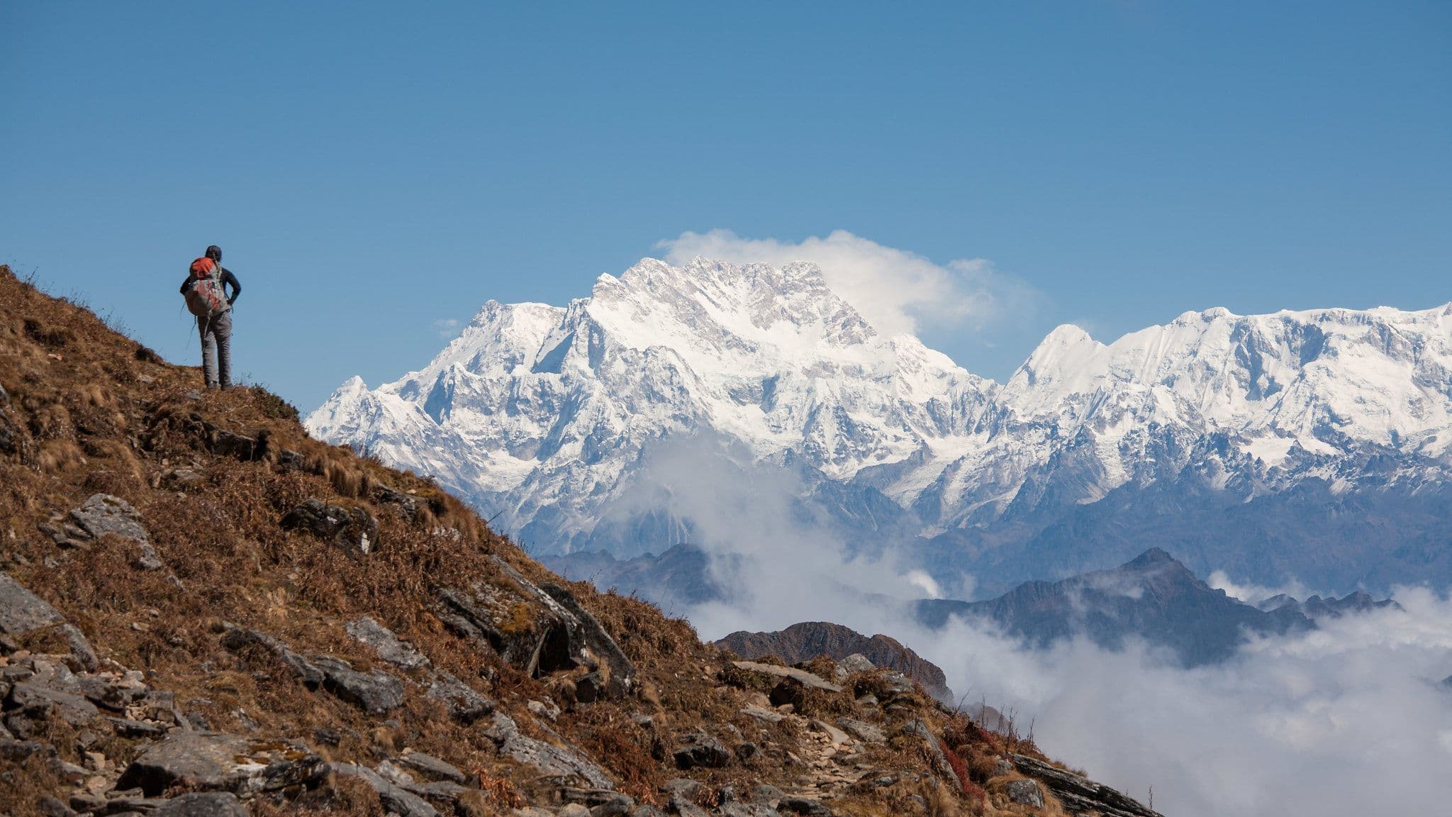

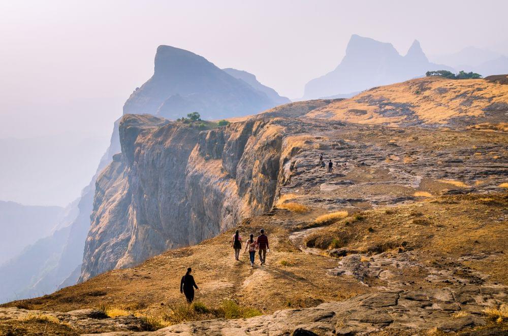
Buran Ghati Trek Overview
Book Buran Ghati Trek Package
Quick Facts of Buran Ghati Trek

Maximum altitude: 15000 ft
Duration: 7 Days
Trekking distance: 39KMs
Trail type: Moderate
Airport: Chandigarh
Snow Season: June
Service from: Janglik
Base camp: Janglik
Best season: May to July & September to October
Region: North- west india
Who can participate: Physically fit individuals with moderate trekking experience.
Short Itinerary for Buran Ghati Trek
Buran Ghati Trek Detailed Itinerary

Heading to the Janglik Base Camp
Altitude - 9,200 ft
Begin from Shimla at 06:30 AM and have a 6 hrs amazing journey to the Buran Ghati trek .
There will be pick up vehicles available for you to leave from Shimla.
Transportation will also be available at an extra price if needed.
Diude is the closest road to the first base camp that is Janglik.
You will also get the amazing view of the beautiful Pabbar river on the way from Rohru to Diude.
Watch the square wheat fields and the attractive Himachali homes on the way along the Pabbar river. The road climbs alongside pretty villages and mixed forests until it gets to the pine forests.
You will have to go through the picturesque road at Tikri. After Chirgaon, the road turns left and becomes an absolute dirt track for the remaining path.

Diude/Janglik to Dayara Thach
Altitude - 11,075 ft
Make your way to a steady ascent through a woodland for approximately 30 minutes, then a gentle fall in the meadows for about an hour, and finally a moderate ascent.As you leave Janglik, you will see exquisitely designed wheat fields that are bordered by elegant wooden farmhouses.The final huts of the small settlement will be left in your wake after fifteen minutes. The elevations will thereafter begin to rise quickly.You will eventually reach a ledge where you can step on it to give your eyes magnificent views of Janglik, Tonglu, and other settlements in an hour.

Dayara to Litham
Altitude - 11,737 ft
The hike today begins with a brief, gentle elevation, followed by a creek crossing.
After an hour or so of ascent through a pine forest and meadows, there will be a gradual descent through a silver birch woodland and meadows.
If you bring 2 liters of water from Dayara, you won't need a refill today. On the walk, look for creeks.
As you hike 740 feet in 3 hours from Dayara to Litham, you'll pass through some deep forests, expansive green meadows, flowing streams, and brooks.
As it approaches Gunas Pass, the trail passes through meadows.
Within fifteen minutes of leaving the Dayara campsite, a trail that slowly ascends leads into another patch of pine woodland.

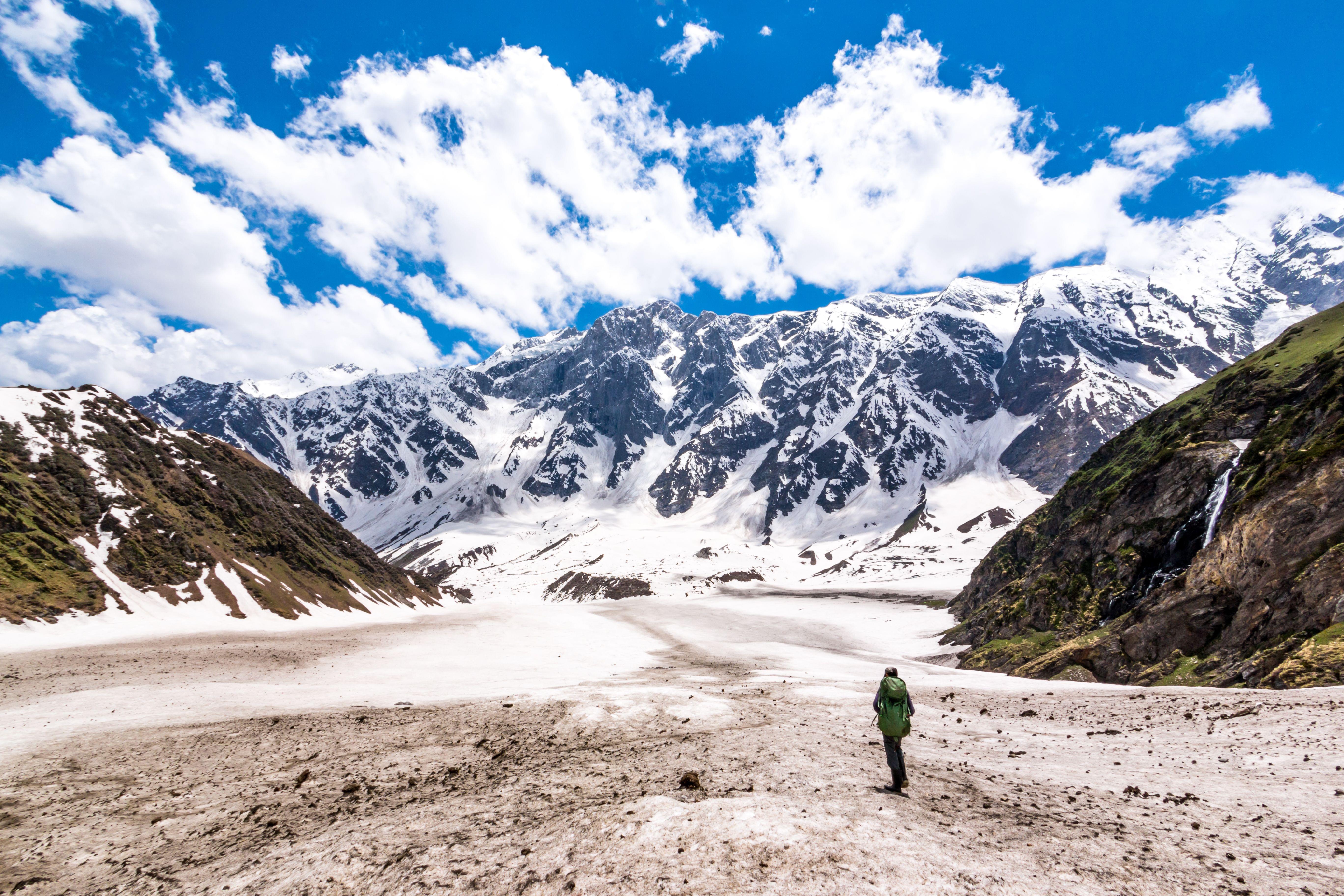
Excursion to Chandranahan lake and back
Altitude - 13900 ft
The day begins with an excursion to Chandernahan Lake which is a glacial tarn that receives year-round water from the surrounding mountains' snow-covered slopes.
Just before you reach the Litham campsite, cross a brook for some thrill.
Follow the shepherd's track upstream until you reach a ridgetop.
Stride in the direction of the waterfall's snout, where the stream originates.
The waterfall's snout is marked by attractive stone cairns and is reachable in roughly an hour and a half.
Once you reach the flat at the base of the waterfall, the path to the lake takes a challenging curve.
The valley bottom has some snow in late June, but it is not too tough to walk on.

Litham to Nalabansh
Altitude - 13,365 ft
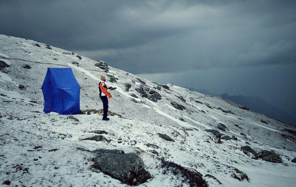
Depending on where you set up camp for the approaching attack, the Buran Pass hike can be simple or challenging.
At 13,000 feet, Nalabansh is an ideal starting point for a two-hour ascent to the pass.
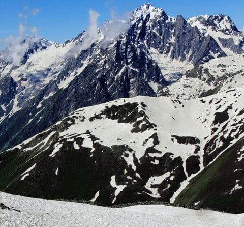
The Gunas pass is perched prettily atop the snow-covered sides of the grey mountains of the Dhauladhar range, which towers over the trail.
Grey and white dominate the scene in front, with green Litham grasslands to the left and rocks enclosing the Rupin Valley to the right.
You will have an unforgettable experience if you climb this challenging terrain that is coated with snow.

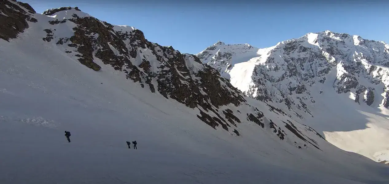
Nalabansh to Munirang via Buran Ghati
Altitude - 11,737 ft
To get to the base of the pass, follow the ridge and hop over boulders.
It takes an hour to hike up from the base, primarily on snow.
At precisely 15,000 feet, Buran Ghati is a fantastic climb.
The top is a ledge that is somewhat small.
On the other side, there is a steep and abrupt descent.
Even with an ice ax, the descent can be dangerous without the rope.
Your first goal is to descend to the first snow field, which is 100 meters below the pass.
After that, there are other slides down smaller ledges in a series of descents.
The Buran Ghati trek's descent is swift, and you quickly lose all the altitude you've gained.

Munirang to Brua Village
Altitude - 6700 ft
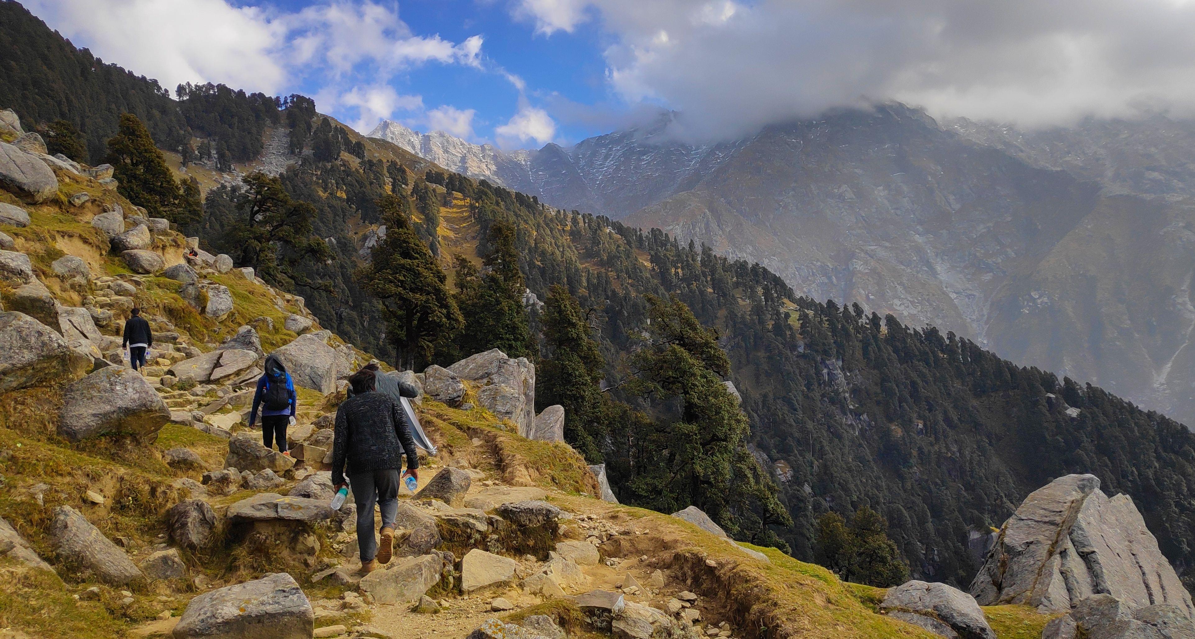
The descent to the Barua settlement is notable for the diversity and variety of plants.
Follow the Barua Khud on the way.
Follow the busiest, widest trail possible.
The high altitude pines give way to a variety of different trees as the trail quickly descends through them.
The track descends to a sizable flowing stream where it meets the Barua Khud an hour and a half later.
The only way across is a mud-lined juniper and juniper-lined temporary bridge.
More varied foliage greets the route as it emerges from the stream.
The first apple orchards and indications of civilization are waiting for the hikers an hour later.
What to Pack for Buran Ghati Trek?

Things to Carry
A set of sturdy, waterproof hiking boots.
socks in three pairs.
Two sets of hiking pants that are waterproof.
1 set of shorts
Two sets of fleece-lined sweaters.
Thermal shirts and bottoms in two pairs.
one jacket with down.
Headgear (one buff, one trekking cap, and one beanie/skull cap).
a couple of heavy gloves
Personal care necessities (alcohol-based gel, hand sanitizer, soap, towels, toilet papers, baby wipes, etc.)
UV-protective eyewear.
Know Before You Go to Buran Ghati Trek

Keep your load light.
Smoking and drinking are prohibited.
The journey leader's choice is final and enforceable.
Weather-related delays could happen.
It is not recommended for anyone to participate in this excursion if they have health issues like asthma, etc. However, they do it at their own peril if they choose to.
Don't stray off by yourself.
Please be mindful of your luggage.
Please drink plenty of water throughout the hike and fuel up on some energy bars, protein bars, or other snacks to keep your energy levels up.
Engage in some physical activity, such as leaping, running, or stretching, as this will improve your body's endurance and strength.
It is recommended that anybody with any physical conditions stay home during the hike.

By Air: Shimla is 22 kilometers away from the Jubbarhatti airport. There are good connections from Jubbarhati Airport to all other Indian cities. As a result, traveling to Shimla by flight is not difficult. The Chandigarh airport and the Delhi airport are two more airports close to Shimla, which makes getting to Shimla simple.
By Train: The closest train station is Kalka, according to railways. There are a good number of trains available from cities like Delhi, Kolkata, etc. Shimla and Kalka, which are connected by a toy railroad and are separated by around 96 kilometers, can be reached by this method (roughly 7 hours).

The greatest time to go hiking in Buran Ghati is from June to October, when the snow is nearly completely gone and the pathways are covered in stunning greenery. However, during the rainy season, the roads that go to Janglik are in terrible shape. Furthermore, due to the considerable snowfall in December as well, the majority of the sites are called to be closed. Trekking is therefore extremely challenging. In addition, there would be a lot of truck traffic on the roadways during apple harvesting seasons. The best times are between May and June and September and October, when the weather is nice and there aren't any extra problems.
General Trivia About Buran Ghati Trek

There are several wonderful views in Buran Ghati just waiting to be found. This beautiful valley is located about 6 hours from Shimla and can be explored over this eight-day trekking tour.Beginning at Guide, the trip passes via the communities of Guide, Janglik, Dayara, Lytham, Chandranahan Lake, Dhunda, Buran Ghati, and Barua. This particular package takes care of all your needs and provides you with food, lodging in tents and huts, and a variety of enjoyable activities throughout the thrilling adventure.
A traditional Sheppard route linking the Pabbar valley in Shimla with the Baspa valley in Kinnaur, Himachal Pradesh, is the Buran Ghati trek (height 4572 m).
You May Also Book
FAQ's of Buran Ghati Trek
How Difficult is the Buran Ghati trek?
You must be physically fit to take part in this particular trek, which ranges in intensity from moderate to challenging. To get your body and mind ready for the walk, following simple exercises are recommended: jogging, stair climbing, sit-ups, push-ups, pull-ups, and squats. Try these few exercises to stop blackouts and fainting. At least one week before the start of the walk, start adding them to your itinerary. Because it needs a lot of endurance and energy, the Buran Ghati walk is somewhat challenging. With an average daily hiking time of 5 to 6 hours, you gain 5,800 feet over the course of eight days. The first two days of the hike are somewhat simpler. The first day sees you ascend over 2000 feet, and the second day adds another 700 feet.
Where Is Buran Ghati located?
Buran Ghati is a mountain byskip placed withinside the lesser (or middle) Himalayan variety. The byskip is a crossover among Janglikh village of Pabbar valley and Brua village of the Baspa valley of Kinnaur.
Can I do Buran Ghati trek In May?
Yes! We advocate May month to be the quality time for the Buran Ghati trek. In May, you'll witness the panoramic vistas of Himalayan levels and luxurious greenery of the Pabbar valley — sans repulsive rains.
Which trek is better: Buran Ghati or Rupin Pass?
Both Buran Ghati and Rupin Pass are placed on comparable altitudes — Rupin pass is barely better. The terrain and panorama is likewise comparable. In fact, the Rupin pass is positioned at the equal variety and aerial distance among these is not much. Choosing one trek over the alternative is a non-public choice. We don’t decide on Buran over Rupin or vice-versa. You shouldn't do both.
Can I do Buran Ghati trek in October?
Yes, Buran Ghati trek in October month is suggested for human beings who are into astrophotography or dawn & nightfall photography. The sky at some point of this time remains clean and the air is preferably crisp for taking pictures of the night time sky or Milky Way.
Treks in Himachal
Treks in Uttarakhand
Treks in Nepal
Treks in Kashmir