.png?w=auto&h=400)

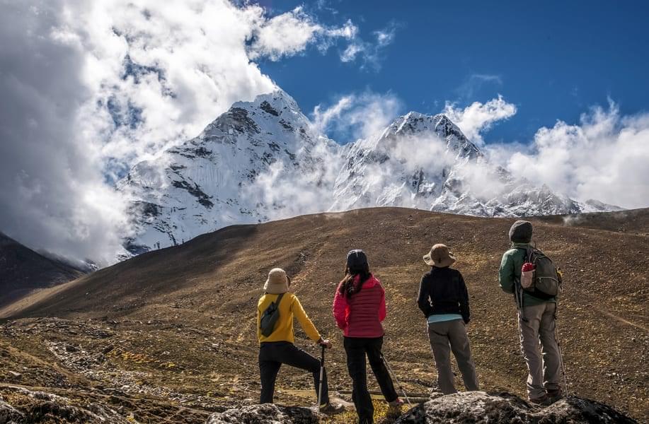
Panpatia Col Trek Overview
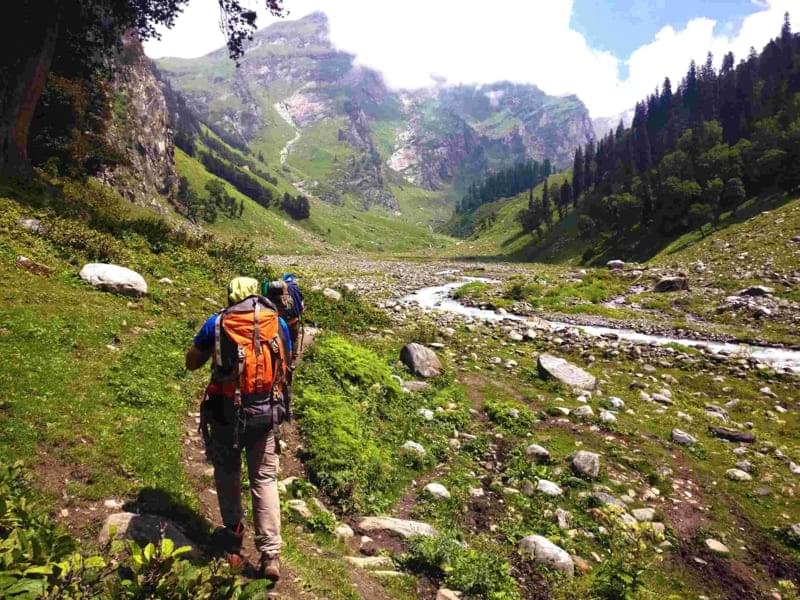
Panpatia Col Trek Itinerary

Haridwar to Joshimath
Arrive in Haridwar and transfer to Joshimath via a private car through Rudraprayag, Devprayag, and Chamoli.
Halt for lunch and continue driving to Joshimath.
Check-in at the hotel to rest before the trek.
Enjoy your dinner and sleep for the night.

Joshimath to Badrinath (3133 m)
Get up early in the morning and have a healthy breakfast.
Leave Joshimath to reach Badrinath.
Arrive in Badrinath at an elevation of 3133 meters.
Pay your respect to Badrinath Temple in the evening.
Trek to the campsite and enjoy your dinner.
Sleep overnight in the tent.

Badrinath to Shepherd Camp
Wake up early in the morning to have a scrumptious meal.
Start trekking from Badrinath to the treeline above the campsite.
Follow up the flags embedded onto the boulders.
The signs take you to Shepherd camp.
Witness the beautiful view of the nearby hills.
Set up your tents, have dinner, and sleep for the night.

Shepherd camp to Snout Camp
Get up early in the morning to prepare for a strenuous trek and enjoy a healthy breakfast.
Start trekking from Shepherd Camp to the Snout.
The early part of the trail is a moderate uphill hike.
The later part of the trail requires you to enjoy steep ascents.
Reach Snout of Panpatia Glacier and set up your camps.
Have dinner, and rest for the night in tents.

Snout camp to Moraine Camp (4300 m)
Get up early in the morning as today marks the day for your long trek.
Start ascending from Snout camp to reach Moraine Camp.
In the moderate path trail, you will come across snow patches and moraines.
Arrive at the moraine camp at 4300 meters and prepare the tents.
Witness the stunning views of the hills while having dinner.
Sleep for the nights in the tent.

Rest and Acclimatization
Stay in the campsite for acclimatization as you would be reaching high altitudes in the upcoming days.
Enjoy your dinner and rest for the night in the camp.

Moraine Camp to Base of Parvati Col
Wake up early to eat a healthy breakfast and get ready for a challenging trek.
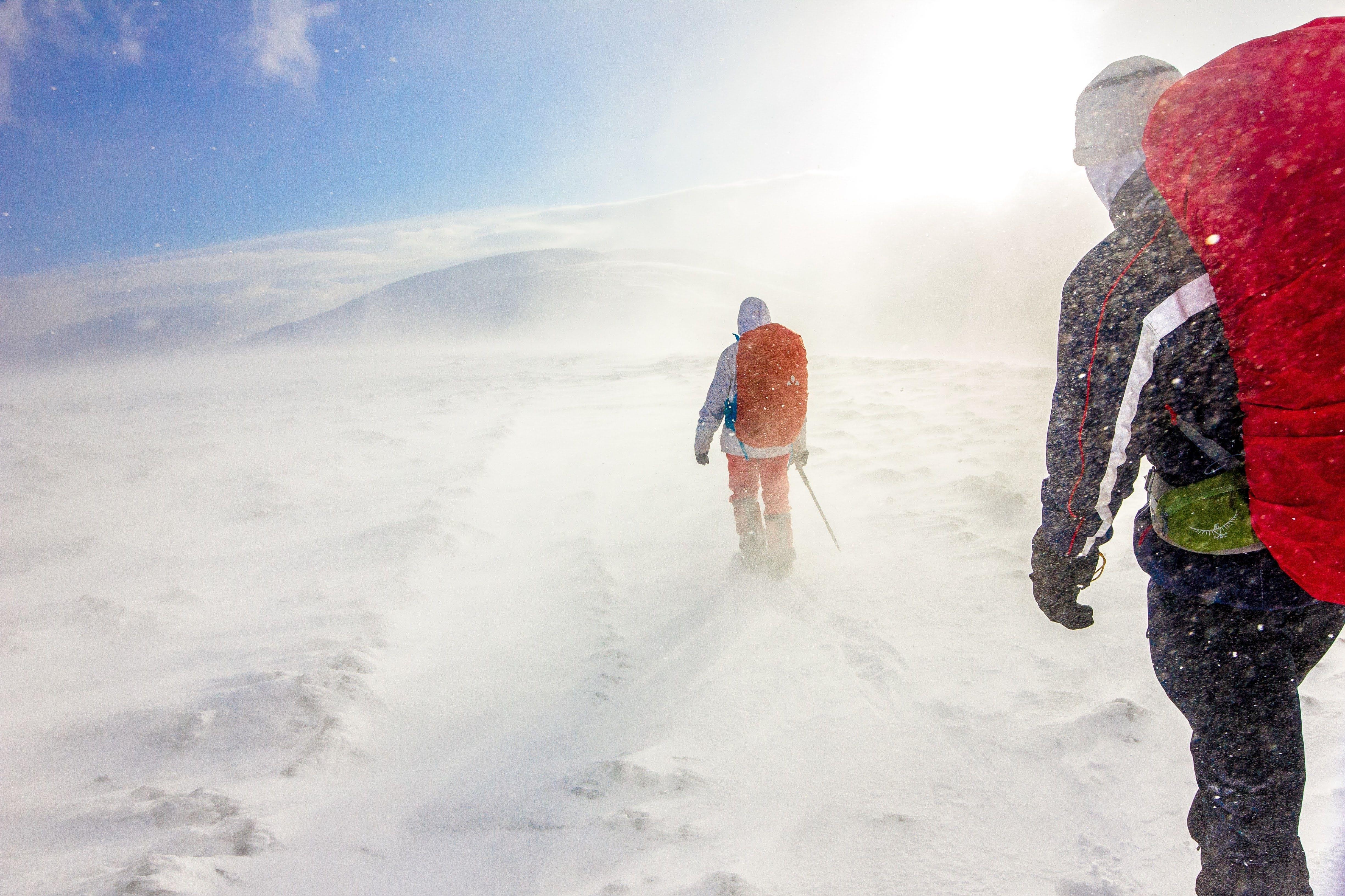
Cross the snowfield of Panpatia Glacier.
Get the thrills of trekking through steep ascents and climbs.
Trek to the base of hill Parvati Col.
Set up the tents under Parvati Col, have dinner and rest for the night.

The base of Parvati Col to Panpatia Snowfield - Camp
Eat a delicious breakfast and start trekking for the day through the Panpatia snowfield.
There is a vertical ridge in the form of a “gully” for you to cross.
After crossing the ridge, you reach an enchanting snowfield made up of snow and rocks.
Witness the breathtaking beauty of Chaukhamba Peak and India’s highest peak Nanda Devi.
Set up the camps in the snowfield and rest for the night.

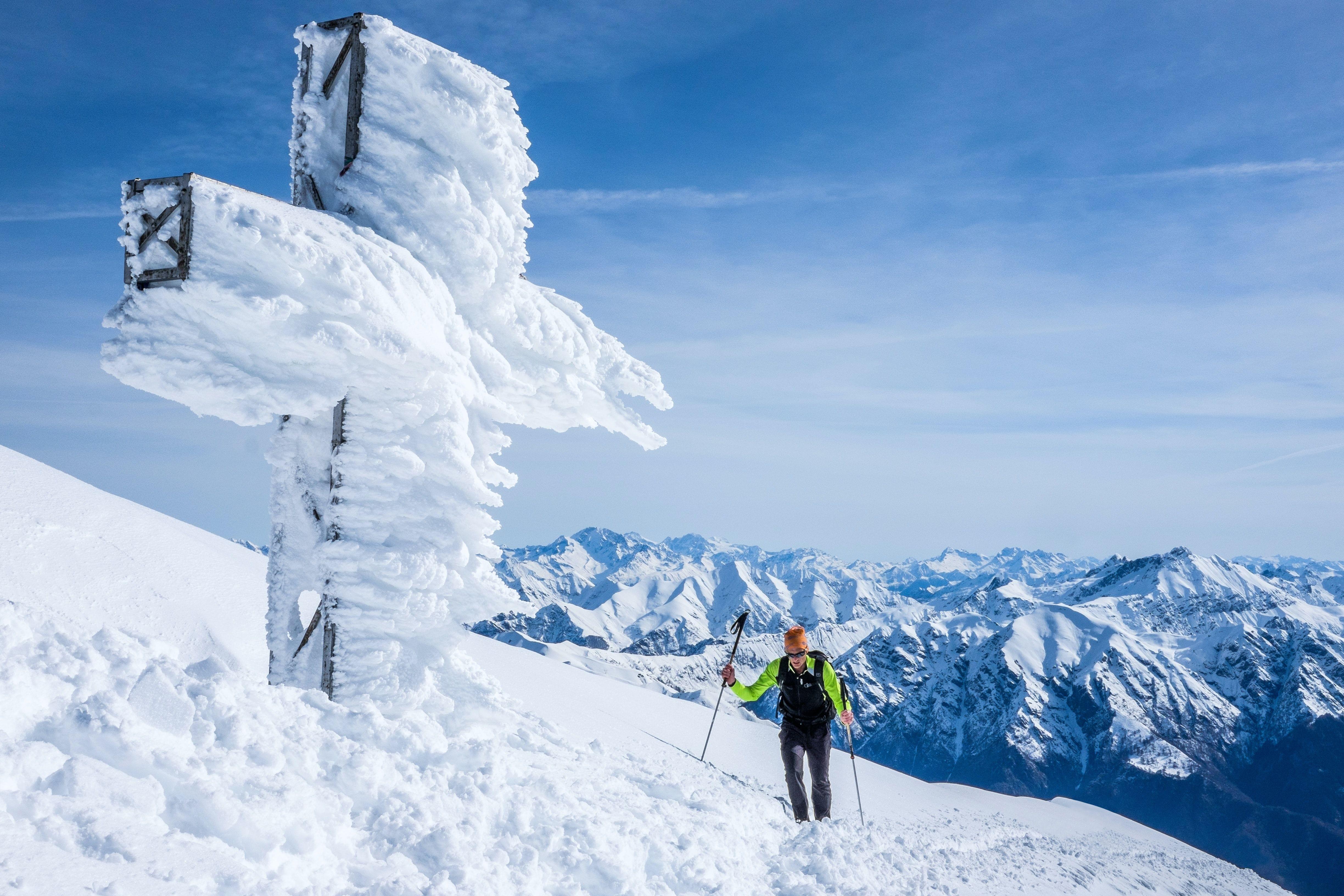
Camp I to Across Panpatia Col (5260 m) to Camp at Sujal Sarovar (4750 m)
Start the trek to reach the highest point at 5260 meters.
Cross the snow-covered plateau to reach the Panpatia Col glacier.
Spend some time at the Panpatia Col Glacier at 5260 meters, and start moving downhill.
Take the small and steep descent to the region surrounding Madhyamaheshwar.
Set up the tents near the small lake of Sujal Sarovar at 4750 meters.

Sujal Sarovar to Kachni
Start trekking from Sujal Sarovar to Kachni.
Kachni is a small pass located just above the lake.
This place is slightly sloped and covered with rocks.
Trek through the route and reach the campsite next to Madhmaheshwar Ganga.
The captivating lights of Guptkashi temple are visible from the campsite.
Eat a scrumptious dinner and rest for the night.

Kachni to Nanu Chatti
Wake up in the early morning and eat a healthy breakfast.
Start trekking from Kachni to Madmaheshwar Temple for 3-4 hours.
Pay respect to Madmaheshwar Temple and enjoy the Chai from nearby shops.
Follow the trekking trail via forests to reach Nanu Chatti campsite.
The last day of the trek requires you to rest overnight in the camp.

Nanu Chatti to Ransi and drive to Rudraprayag
Begin the last trekking day with a refreshing breakfast and start descending.
Move downhill from Nanu Chatti through pine forests.
Pass by the bank of River Madmaheshwar Ganga.
Reach Ransi village to end your trek.
Get in the vehicle to drive to Rudraprayag.
Arrive in Rudraprayag and check in at the hotel for the night.

Rudraprayag to Haridwar
Get up in the morning to have breakfast in the hotel and take a road transfer to Haridwar.
Pass by Devprayag near Alaknanda and Bhagirathi Rivers that meet River Ganga.
Arrive in Haridwar to officially end your trekking package.
What to Pack for Panpatia Col Trek?

As the Panpatia Col trek takes you to a height above 5000 meters, an oxygen cylinder is mandatory for you to carry.
Backpack of 50-60L.
Take a good-quality flashlight, torch, and batteries with you.
Make sure to take fleece jackets, and thermal wear like sweaters, woolen caps, blankets, socks, mittens, gloves, scarf, etc, as such high altitudes are Cold.
Carry an adequate amount of toiletry, a medicine kit, and a first-aid kit.
In case of any unpredictable rain, make sure to carry your raincoat, covers, waterproof windcheater, etc.
Wear appropriate trekking shoes that are suitable for any kind of terrain, as you would be walking in the snow during the Panpatia Col Trek.
Know Before You Go to Panpatia Col Trek

By Air: The nearest airport to Haridwar is Dehradun’s Jolly Grant Airport. It is located at a distance of 41 km from Haridwar. You can easily take a cab/taxi or bus from the airport to reach Haridwar directly.
By Train: Haridwar is well connected to major Indian cities via Train.
By Road: Haridwar is well connected to major Indian cities via bus like Dehradun at 229 km, Chandigarh at 205 km, Delhi at 210 km, Nainital at 223 km, etc.

There are three popular trekking routes to Panpatia Col Glacier, ranging from east to difficult.
Trekking Route 1: It is an easy 11-day trekking route that starts from Ransi Village and Madhmaheshwar. It is the opposite route of Route 1, as you ascend the trek through Kachini Dhar, and Sujal Sarovar. The descending trail is the same to Madhmaheshwar, and Ransi Village.

Practice the art of Acclimatization as you would have to trek for 1000+ meters of altitude on certain days. You need to be careful and carry a medical kit with you to beat altitude sickness.
Panpatia Col Trek is a long one, 13 days and 12-night trek. You must calculate the number of required necessities and carry them accordingly.
Follow the advice of trek leaders as this is a difficult trek.
Panpatia Col trek is an eco-friendly trek with no wastage of food, and water. Hence, refrain from littering at the campsites for a clearer journey.
Carry eatables, medical kits, thermal wear, and other necessities in proper amounts as it is a 13-day trek.
FAQs of Panpatia Col Trek
How much time is required to do the Panpatia Col trek?
Panpatia Trek is a long trek that takes 13 days and 12 nights to finish. The trekking route from Ransi Village and Madhmaheshwar takes 11-days and 10-nights to finish.
Where is the Panpatia Col trek located?
Panpatia Col Glacier is located in the Garhwal region of the Himalayas and is one of the highest passes in the world that connects Badrinath to Kedarnath. Panpatia Col Trek starts in Badrinath after Joshimath and ends in Ransi Village.
How difficult is the Panpatia Col trek?
Panpatia Col Trek is moderate to difficult level trek, suitable for intermediate to pro-trekkers. Owing to the rugged terrain, snow-covered trails, snowfields, steep ascents, and climbs, the trek becomes a bit difficult. But except snowfields, these come in your way for some time as most of the trek is moderate to take.
What is the best time to do a Panpatia Col trek?
The best time to take Panpatia Col Trek is during the season of Summer around Mid-may to June. This is because there is no rain and most of the snow has already melted. The trail becomes easier to cross during the summer season with no danger of landslides.
Is the Panpatia Col trek worth doing?
Yes, the Panpatia Col trek is worth doing because you get to witness some of the highest passes in the world at an elevation of 5260 meters. Panpatia Col is a glacier pass that is popular because it connects Badrinath to Kedarnath. Amidst the trek, you get to see beautiful Himalayan peaks like mighty Nanda Devi, Nilakantha, Kunaling, Balakun, Chaukhamba, etc, and pay your respects to temples like Badrinath, Madhmaheshwar, GuptKashi, etc.
Treks in Ladakh & Kashmir
Quick Facts of Panpatia Col Trek

Maximum altitude: 5260 Mt.
Grade: Difficult
Duration: 13 Days /12 Nights
Trekking distance: 62 kilometers
Rail head: Rishikesh Railway Station
Airport: Jolly Grant Airport, Dehradun
Snow Season: December to February
Service from: Haridwar
Base camp: Shepherd Camp
Best season: April to June & September to October
Region: Uttarakhand