.png?w=auto&h=400)
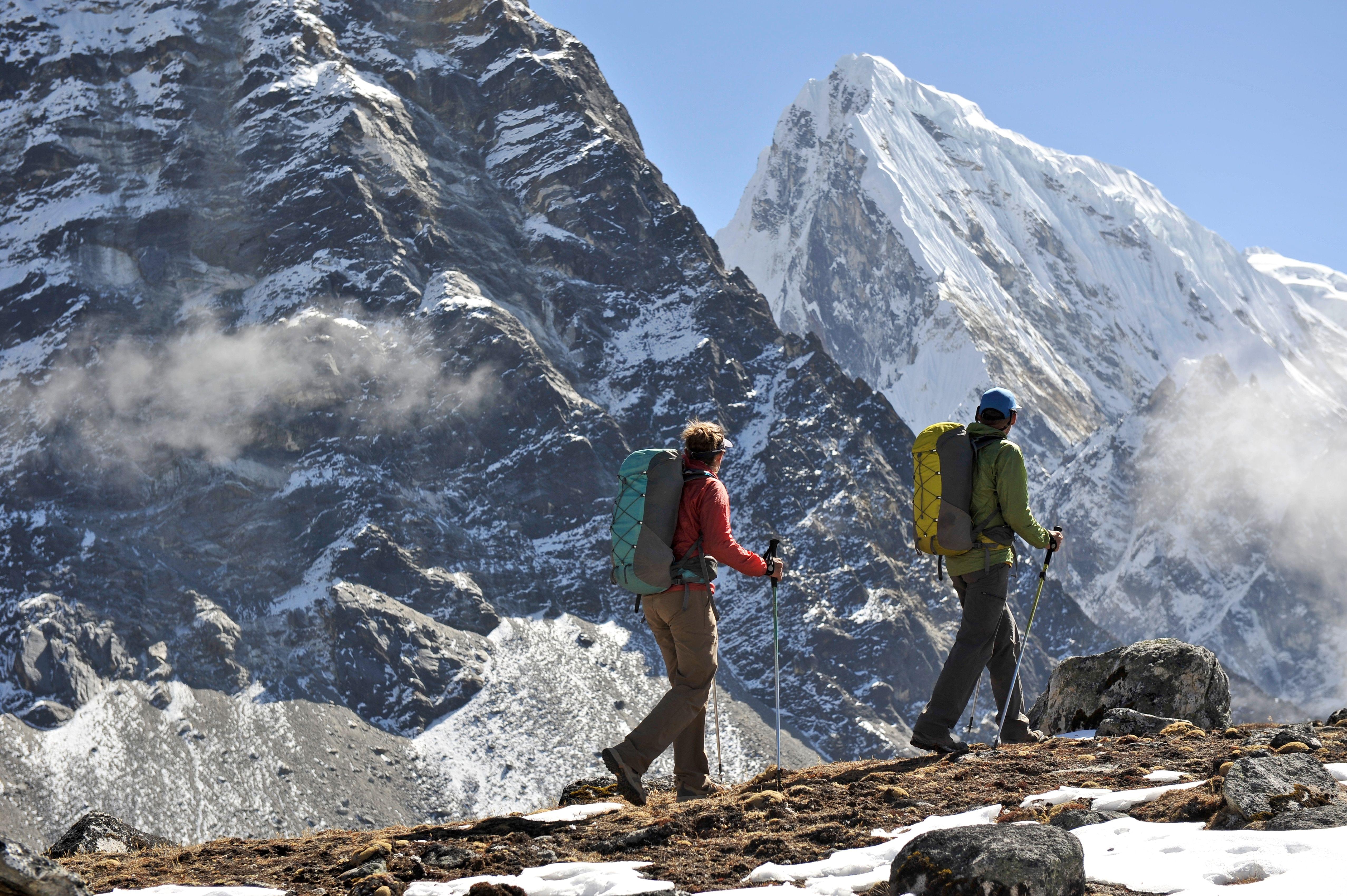
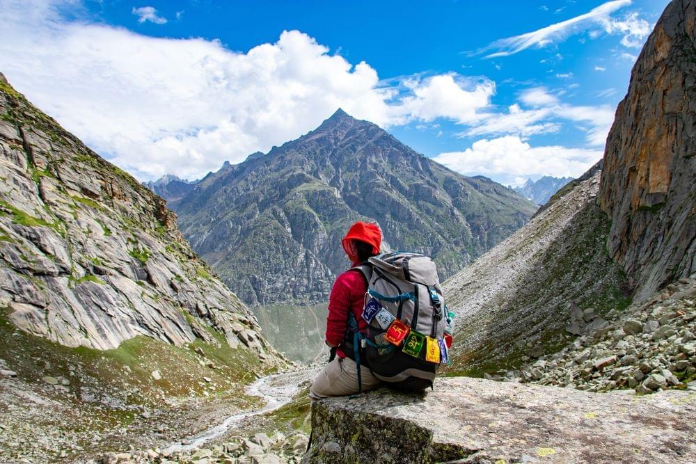
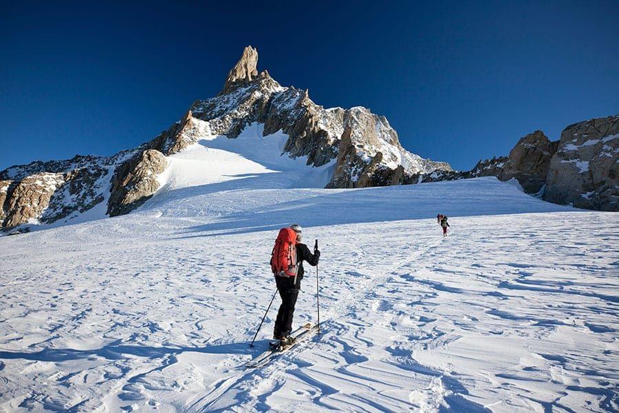
Bali Pass Trek Overview
Book Bali Pass Trek Package
Quick Facts of Bali Pass Trek

Maximum altitude: 16200 ft
Grade: Difficult
Duration: 9 Days/ 8 Nights
Trekking distance: The Entire Trek covers a distance of 61 kilometers
Trail type: A cross-over trail through passes
Railhead: The nearest Railhead is Dehradun
Airport: Jolly Grant Airport, Dehradun
Snow Season: The snow season occurs from December to June
Service from: Dehradun to Dehradun | Included Transport
Base camp: Sankri
Best season: Summer Treks (April, May, June) and Autumn Treks (September, October, November)
Region: Uttarakhand, India
Who can participate: Above 15 years, Have at least one experience of trekking in high altitudes above 13,000 ft
Short Itinerary for Bali Pass Trek
Bali Pass Trek Detailed Itinerary

Dehradun to Sankri via Mussoorie and Purola
Drive: 8 hours
The trekking journey begins from Dehradun, making it a good criterion for people looking for treks near Delhi.
Driving near the Tons river, and going past small country towns in Uttarakhand like Damta, Purola, Mori, and Netwar, you will arrive at the base camp Sankri.
There is no network in this small country town, letting you take in the view of the sun strikingly setting over the nearby Greater Himalayan peaks without any distractions.
You can stay in hotels or homestays here.

Sankri (1,920 m) to Seema (2,560 m) - 1-hour drive to Taluka and then trek to Seema (5-6 hours trek):
After a fulfilling, healthy morning meal, you will be transported to Taluka by private car.
Now, the trek starts on a stony path near the gushing river Supin.
You can also see planted fields of the red-colored Himalayan crop amaranth, locally known as cholai. Under the shades of walnut, pine, deodar, and maple trees, the walk is as pleasing as the villagers will be greeting you on the way.
A few hours and crossing over a few small rivers later, you will see the small country town of Gangad across the river on the left.
Then you need to carry on the trek and after about an hour, you can see the charming village of Osla unfolding itself.
Osla is a household name among mountain walkers. Home to about 200 families, it gives us a peek into Garwahli culture. Seema is a very small living place opposite Osla on the other side of the river.
You can put base here or stay in a hut with a nearby family in the village.

Seema (2,560 m) to Roiltia or Waterfall camp (3,350 m) - 6-7 hours trek.
Leaving the last of human settlements behind, you have to go on along the true left of the valley along the river Supin.
Supin goes together with Rupin near Netwar village to form Tons, which is the biggest tributary of river Yamuna.
An ascending through deodar trees will lead you to a beautiful field - Devsu Thatch. This 1km expanse of green land is set against the looming Swargarohini ranges.
You can also see Kalanag (Black Peak) (6387m) straight on. On the left, you can see Har Ki Dun Valley. At its lowest part lies the confluence of the Har Ki Dun and Ruinsara rivers.
After sloping down from the field, you must move into the Ruinsara valley.
At the end of this trek, you can camp at the side of the small river close to the waterfall locally known as Roiltigad or Roiltia.

Roiltia to Ruinsara lake (3,600 m)- 2 hours trek.
Today’s journey is going to take under 2 hours even at a slow speed. And within this trek itself, you will notice a stark change in vegetation.
Pine and fir trees give way to birch and rhododendron trees. The thick forest through which you will pass is frequented by the endangered Himalayan Brown Beer.
If you are very lucky, you might witness this unusual and unique creature.
Then you will arrive at one of the highlights of the trek - Ruinsara Tal, an Alpine tarn, surrounded by rich, pleasing rhododendron trees, with their distinct pink bloom in the summers.
You will be left enchanted by this sacred lake in Uttarakhand Himalayas. It is one of the trio of inland waters in the Garhwal division, the other 2 inland waters being Marinda and Maldaru.
You will be living under camp overnight near the Ruinsara Tal lake.

Ruinsara lake Acclimatization – Getting Accustomed for the entire day to the atmosphere of Ruinsara Lake.
Placed at a higher altitude of about 3500 m, Ruinsara lake is a good place to get used to new conditions before getting to the Bali Pass camp base the next day.
Ruinsara Tal is known for its strikingly beautiful appearance. The small and pristine lakes lie within a vast field, alpine vegetation, and surrounding rhododendron bushes.
There is a great range of alpine flowers growing around the lake. The river Supin is placed 100 meters below the lake, next to a ridge.
It is the perfect place to play games with trek mates, read a good book, or just be seated quietly to dive through nature's peace.
You can also use up the day exploring nearby places. You can trek in the direction of the Banderpunch glacier or Kyarkoti which is the base camp for Kalanag and Dumdar Kandi pass.
Then you must return to the camp in the evening.

Ruinsara lake to Odari (4,100 m)- 4-5 hours trek.
Start the day early to reach the destination before the afternoon.
You can descend the shallow river bed, cross over to the opposite bank and walk uphill to another beautiful field - Thanga. This field also offers awe-inspiring views of the Swargarohini ranges. Kyarkoti valley lies towards the left.
Then reach Odari. The word ‘Odari’ means a naturally made cave rock. This place has mythological stories connected with it. It is believed that Bali, Hanuman's brother, had stayed here for one night.
Here too you might discover the unique Himalayan brown bear. Then you have to camp below Bali Pass along a glacial moraine. This is one of the best places for a camp, with the valley below and the Pass behind us.
The temperatures at night go to sub-zero degrees. Camping under such altitude is a unique experience that very few treks offer.

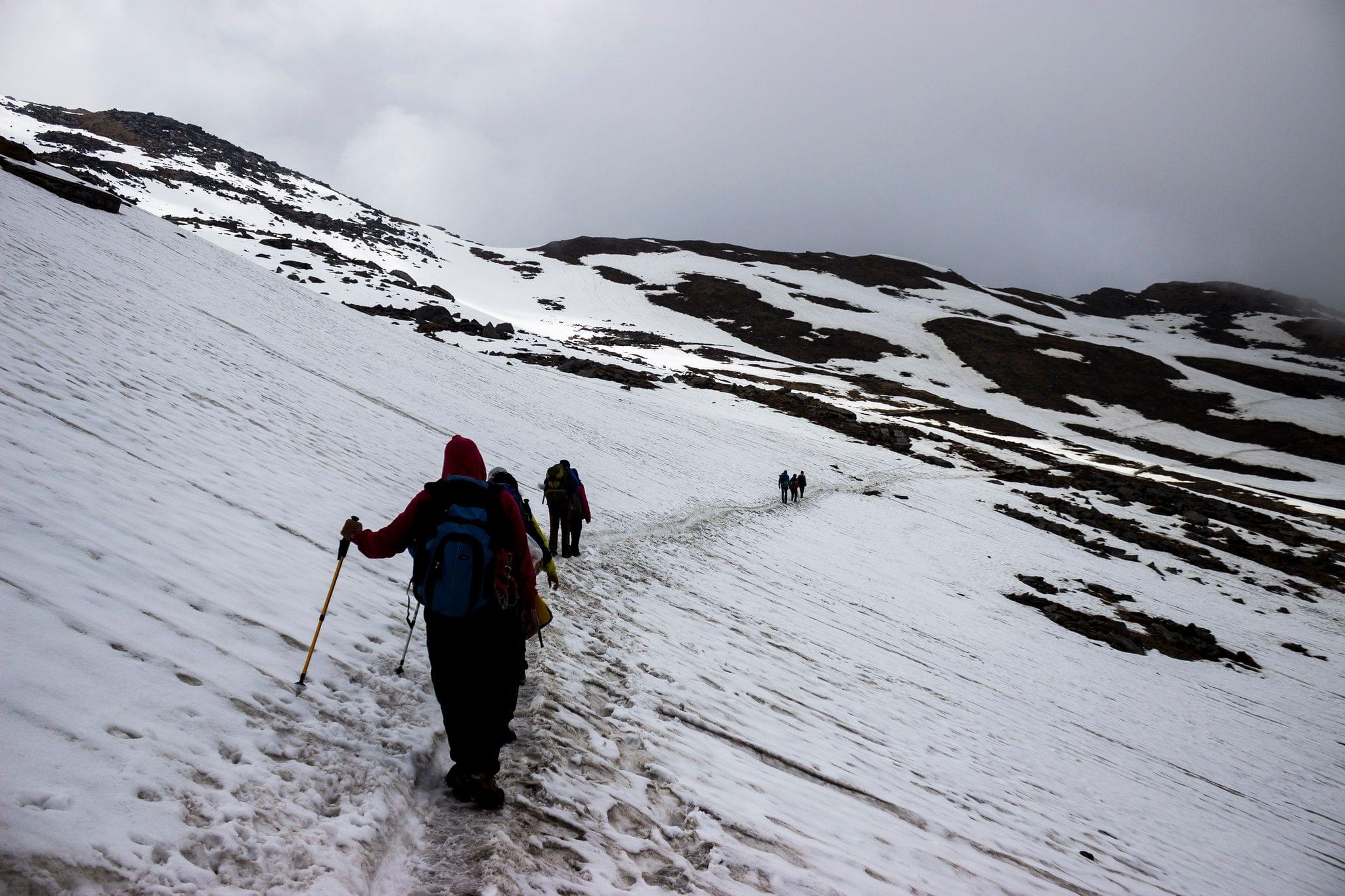
Odari (4,100 m) to upper Dhamni (4,000 m) via Bali pass (4,900 m)- 7-8 hours trek.
This day of crossing Bali Pass too begins very early. You need to get to the summit by 8 am. The trail heads down south, over a ridge. It is fairly short but slopes go up to the Pass.
A mass of glacial scree will be encountered here. The time needed to get to the top ranges from 45 minutes to one and a half hours.
Once you get to the top, you will see the Yamunotri valley for the first time. The view is breathtaking.
You can see small signs of the Saptrishi Kund, which is the source of the river Yamuna. You will also get to witness the Banderpunch peaks from the top of the Pass. The summits of Dayara Bugyal, Barua Top, and Dokrani Bamak are visible too.
Then you must come down carefully via a connecting ridge and reach the camping grounds of upper Dhamni.

Upper Dhamni (4,000 m) to Yamunotri to Janki Chatti (2,400 m)- 7-8 hours trek.
Then you must go down further to a tree-covered trail. This path leads to the famous shrine of Yamunotri with the very beautiful Bandar punch in its background.
One of the temples in the Char Dham circuit is dedicated to the goddess Yamuna.
After paying obeisance to her black marble idol, you can make your way down conventional pilgrim to Janki Chatti.
Stay in this place overnight in one of the guesthouses here. You will get electricity but no telephone network.

Janki Chatti to Dehradun - 7 hours drive.
This is the last day of the journey and you will drive back to Dehradun.
You can make the most of this journey by visiting other well-known places that fall on this way such as Kempty waterfalls, Nainbagh, and Mussoorie.
With equally beautiful memories of an offbeat long, hard journey and touristy sightseeing, you will have a cherishable experience.
What to Pack for Bali Pass Trek?

Bali Pass Trek needs strong, solidly made trekking shoes, that have good grip, and ankle support, and can handle snow.
You need a 50-60 liter personal bag. Make certain your bag has good hip support, shoulder support, and quick way in pockets.
Wearing levels is the special power in the mountains. Levels give you the greatest protection from all parts.
You will need 1 pair of inner thermals, 2 light wool levels, 1 light sweater, and 1 soft padded jacket.
An outer padded jacket will keep the wind and cold out. Make certain that your padded jacket has a hood as well.
One to two pairs of trek pants should be enough for this long, hard journey.

These are documents needed for lawful purposes and the forest department. Without any of these, you will not be allowed to trek.- Original and photocopy of identity card- Anything such as a Driver's License, Aadhar Card, or Passport will do. This is needed by the Forest divisions of an organization for your identification.- Passport-size picture- This is needed to get the trekking permits.- Disclaimer certificate- This is another legal document needed. Download the PDF, read carefully and sign it. This must be handed over to your trek leader during the registration at the base camp.- Medical certificate- There are 2 parts to this. The first part must be filled by a practicing medical expert. The second part must be filled by you. Without the medical certificate, the Forest department will not allow your trekking journey.
Know Before You Go to Bali Pass Trek

Trekking the Bali Pass is no easy feat - but it is worth it. The views from the top are incredible, and the sense of accomplishment you will feel is unparalleled. That being said, there are a few things you should keep in mind before embarking on this journey.
First and foremost, make sure you are properly hydrated. It is easy to forget to drink water when you are focused on the trek, but it is important to keep your body fueled. Dehydration can lead to headaches, dizziness, and fatigue - all of which will make the trek that much harder.
Secondly, be sure to pack plenty of snacks. Granola bars, nuts, and fruit are all great options. Not only will they give you energy, but they will also help to keep your blood sugar levels stable.
Third, dress in layers. The temperature can change quickly at high altitudes, so it is important to be prepared.
Bali Pass is at a height close to 5000 meters, so, it will be better if you have a trekking experience.
It is better to train yourself for two-three months before taking part in the trek.
If possible, reach a day or two, before you begin your trek to get used to the high-altitude climate and weather conditions.
Hire a guide who is experienced in trekking to go with you on this trek. These guides have much knowledge and are an expert on the route of the trek.

To start the Bali Pass trekking, first, you have to reach Dehradun, the capital of Uttarakhand. It is one of the most popular tourist destinations in India. There are many ways to reach Dehradun, but the most popular and convenient way is by air.
By Air: Jolly Grant Airport is the nearest air-plane station to arrive at Dehradun by flight. Also, Dehradun is almost 25km away from Delhi. You can book regular flights from Delhi to Dehradun. However, if you want to reach Dehradun by flight, then it is better to come one day before the trekking day.
By Train: In case, you need to get to Dehradun from Delhi by train, then 2 express trains are quite convenient. The train journey is an overnight journey.
By Bus: From Delhi, you can find regular bus service to Dehradun. ISBT Kashmere Gate is the main bus station in Delhi from where you will find both AC and Non-AC buses for Dehradun. However, it is always better to take government buses from Kashmere Gate ISBT.

The best time to do the Bali Pass Trek would be in the summer- May and June. The slow changes of the trail from snow to greenery are something beautiful to see. Also, the flowering rhododendrons, the possibility of watching the unique alpenglow phenomenon, and the vibrant fields make it one of the best times to go for the trek.
Another good time to do the Bali Pass Trek is in the post-monsoon and Autumn season - September to October. The trail is rich, pleasing green in September, a little cold from the monsoon burst-out. As you move in the direction of Autumn, the area changes its color to sudden, surprising yellows and oranges. You will also get the best views of the mountains during this time division.
- Bali Pass Trek in Summer
Day time: Between 12 and 17 degree celsius | Night time: Night time temperature will drop to zero.Existence of snow: If the winter season for the year has weighty snowfall, you can look for snowy patches on the ridge for the first few weeks of May. The snow gradually starts to slope back and the field and flowers come up brightly.
- Bali Pass Trek in Autumn
Day time: Between 10 and 14 degree celsius | Night time: Will drop to temperatures between 0 and -3 degree celsius.
Existence of snow: The last days of November witness the first snowfall because of, mostly western climatic troubles.
General Trivia About Bali Pass Trek

Most of the trail for the Bali Pass Trek is like that of Har Ki Dun.
However, for Har Ki Dun, the maximum time you are walking is either on the left side of the Ruinsara-Tons river or the right side of Bali Pass. These 2 trails have a meeting point.
After this, beyond Boslo's village in the direction of Rain Basera, you face a slope running sharply through the thick, deep forest.
As Bali Pass is full of experience of adventure in its truest sense, the right techniques, and guiding processes are needed to go down the narrow footway here.
However, on this footway, you see something unnatural, rather magical.
Sunlight takes on different colors and forms. The reason for this is the different kinds of canopies formed by the different trees here.
The spruce trees, for example, with their needle-like branches and leaves, break the sunlight into what seems like numerous spotlights falling on land.
If you look up from under the golden-colored oak trees, sunlight appears like an orange bulb above you and it is through this 'Enchanted Forest' that you get to walk in the Bali Pass Trek.
The site is beyond perfection and mesmerizing to watch.
You May Also Book
FAQs of Bali Pass Trek
How Difficult is the Bali Pass trek?
Bali Pass Trek is not very hard and not easy either. This trek comes somewhere in between the moderate and tough levels. The summit point is a little bit hard. This trek is a bit strenuous at the same time. But if your physical fitness is good and you have it in your mind that you desire to complete the trek entirely, then you can do it completely with your passion.
There are a few key areas that hikers need to focus on before embarking on the Bali Pass Trek. Firstly, cardio fitness is essential. The Bali Pass Trek is a long and arduous hike, and hikers need to be able to sustain a high level of activity for extended periods. Secondly, hikers need to have strong leg muscles. The Bali Pass Trek involves a lot of uphill hiking, and hikers need to have strong leg muscles to be able to make it to the top. Finally, hikers need to have a good level of overall fitness.
Can beginners do Bali Pass Trek?
The answer is unfortunately no. Bali Pass Trek is not a beginner-friendly hike. It is long, difficult, and requires a good level of fitness. If you are not an experienced hiker, we recommend that you choose another hike.
What type of fitness is required for the Bali Pass trek?
Bali Pass is a strenuous trek and requires a good level of fitness. It is recommended that you have some previous trekking experience and are comfortable walking for 6-7 hours a day carrying a light daypack. The trail is generally well-defined and easy to follow but there are some steep and slippery sections. You need to be sure-footed and have a good level of fitness to complete the trek.
If you are not reasonably fit, you may find yourself struggling to complete the trek. That being said, do not let the challenge of the Bali Pass Trek deter you. It is an incredible experience and one that you will remember for a lifetime. Just be sure to train properly and go into the trek with the right mindset, and you will have no problems at all.
Is it safe for solo women travelers to go for the Bali Pass trek in fixed departures?
Yes, it is safe for solo women travelers to go for the Bali Pass trek in fixed departures. You can share your tent with other women on the trek which will make you feel safer. However, if you are the only woman there, then you will be given a separate tent.
What is the nearest ATM to the Bali Pass Trek?
Uttarkashi is the last town en route to Kotgaon where you will discover ATMs to take some money out. All chief private and public sector banks have their ATMs and some even have branches in Uttarkashi. However, money does run out quickly at the Uttarkashi ATMs. For this reason, Dehradun is your best place for last-minute cash withdrawals. It is better if you keep around Rs 4-5k in cash for your transport to the base camp, for the rental gear deposit, and personal expenses en route to the base camp.
How long is the Bali Pass Trek?
The Bali Pass Trek covers around 55 km in 7 days. (8 days including the private road to and from the trek). The height ranges from 6,397 ft in Kotgaon to Bali Pass at 16,207 ft.
What type of clothing is required for Bali Pass Trek?
The weather in the mountains can be unpredictable, so it is always best to be prepared.
Here are some suggestions of what type of clothing to pack: -A waterproof and windproof jacket.-A warm sweater or fleece. -Comfortable walking shoes. -Hat and gloves. -Sunscreen and sunglasses.Remember, the most important thing is to be comfortable and enjoy the trek.
Treks in Ladakh & Kashmir